Fossicking Location: Thanes Creek
Download as .GPX file
Latitude: -28.102274
Longitude: 151.683622
Notes:
Thanes Creek is about 40km west of Warwick.
Take the Cunningham Highway travelling towards Inglewood. At about 37km from the Warwick Post Office, turn off to the right into Thanes Creek Road. The turn-off is 0.5km past the Thanes Creek Bridge, just past Thane railway siding.
Cross the rail line and go 3.6km to the end of bitumen and continue along the well-formed gravel road a further 1.6km to a fork. Turn right into Hart Road and continue 2.5km to a second fork. Turn right into Big Hill Road and follow a further 0.9km to the fossicking area on the left.
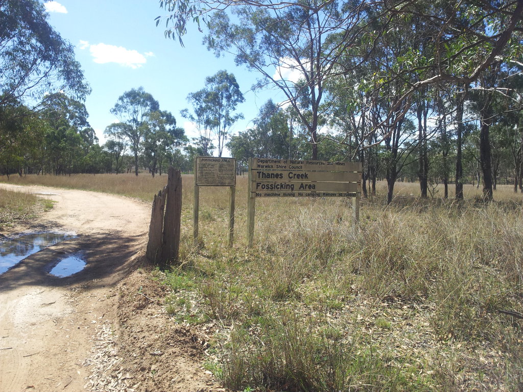
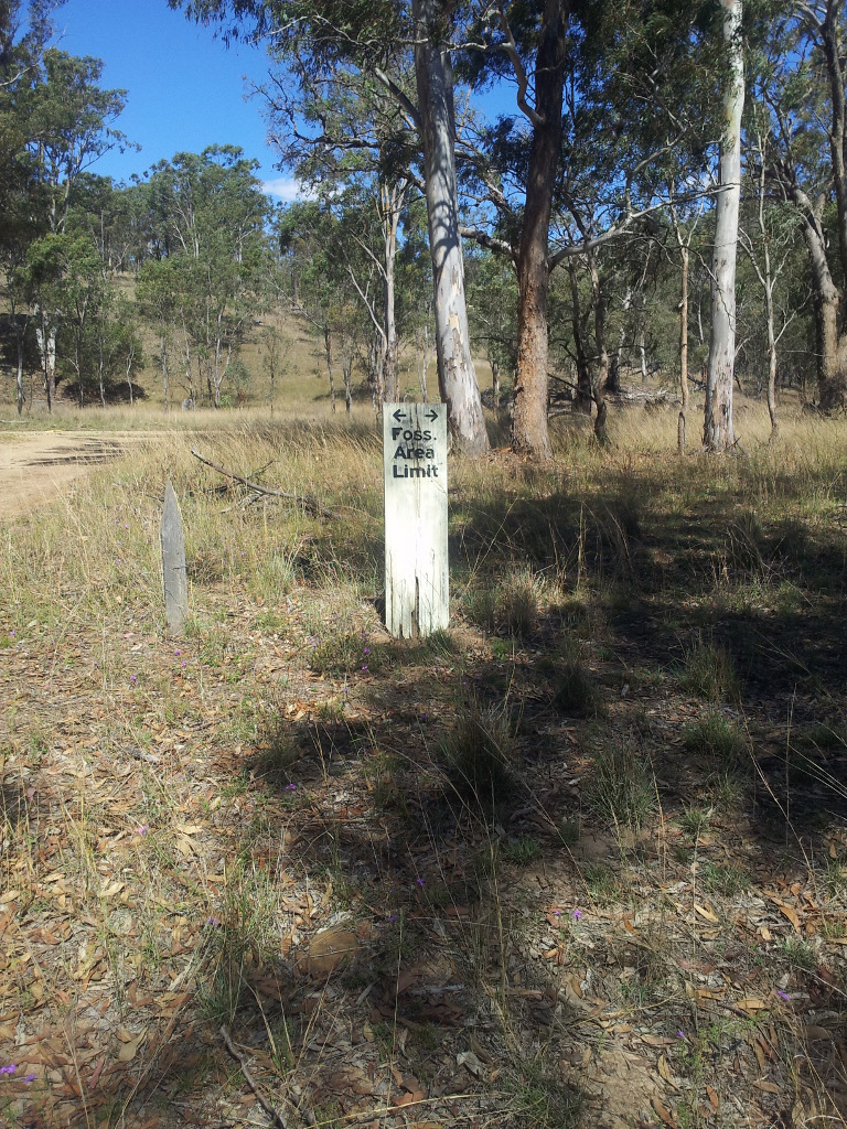
The main entrance sign is visible from road.
The rocks in the Thanes Creek area have been mapped as the Texas beds, which are of Devonian to Carboniferous age. They include sandstone, mudstone, conglomerate, slate, chert, jasper, andesite and limestone. The primary gold-bearing quartz reefs occur mainly in slate. Alluvial gold in the gullies and creeks accumulated from the weathering of the rocks containing these reefs.
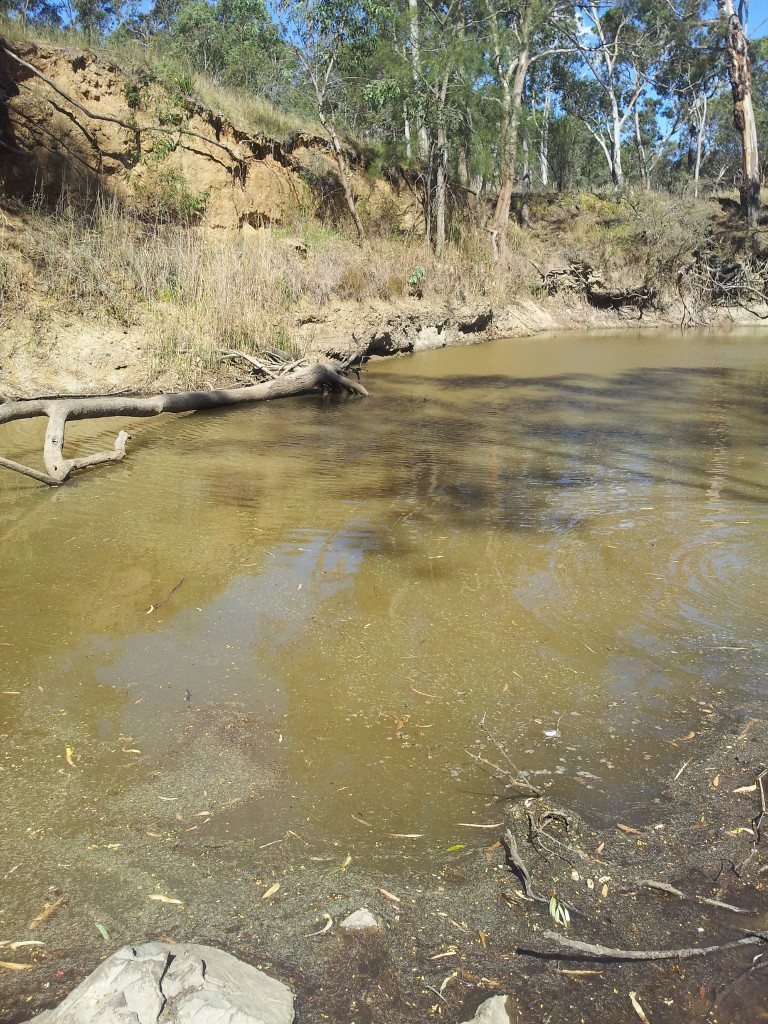
Colours of gold can be obtained from the alluvial sediments within the stream channel and from gravel layers in the low bank or possibly from crevices in rock bars. During dry times, water may be scarce but pools do remain in better seasons.
Panning is the simplest recovery method.
What To Find:
Gold [Confirmed]
Location Attributes:
General Permission Area
Miner's Right / License Required
Recommended Tools:
Bucket
Crevicing Tool
Gold Pan
Shovel
Sieves
Trowel
Map:
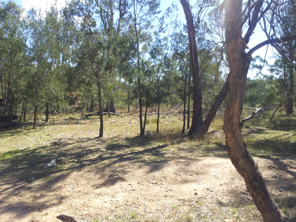
Associated Photos:
The details for this location were last modifed 2022-09-11 23:23:30